
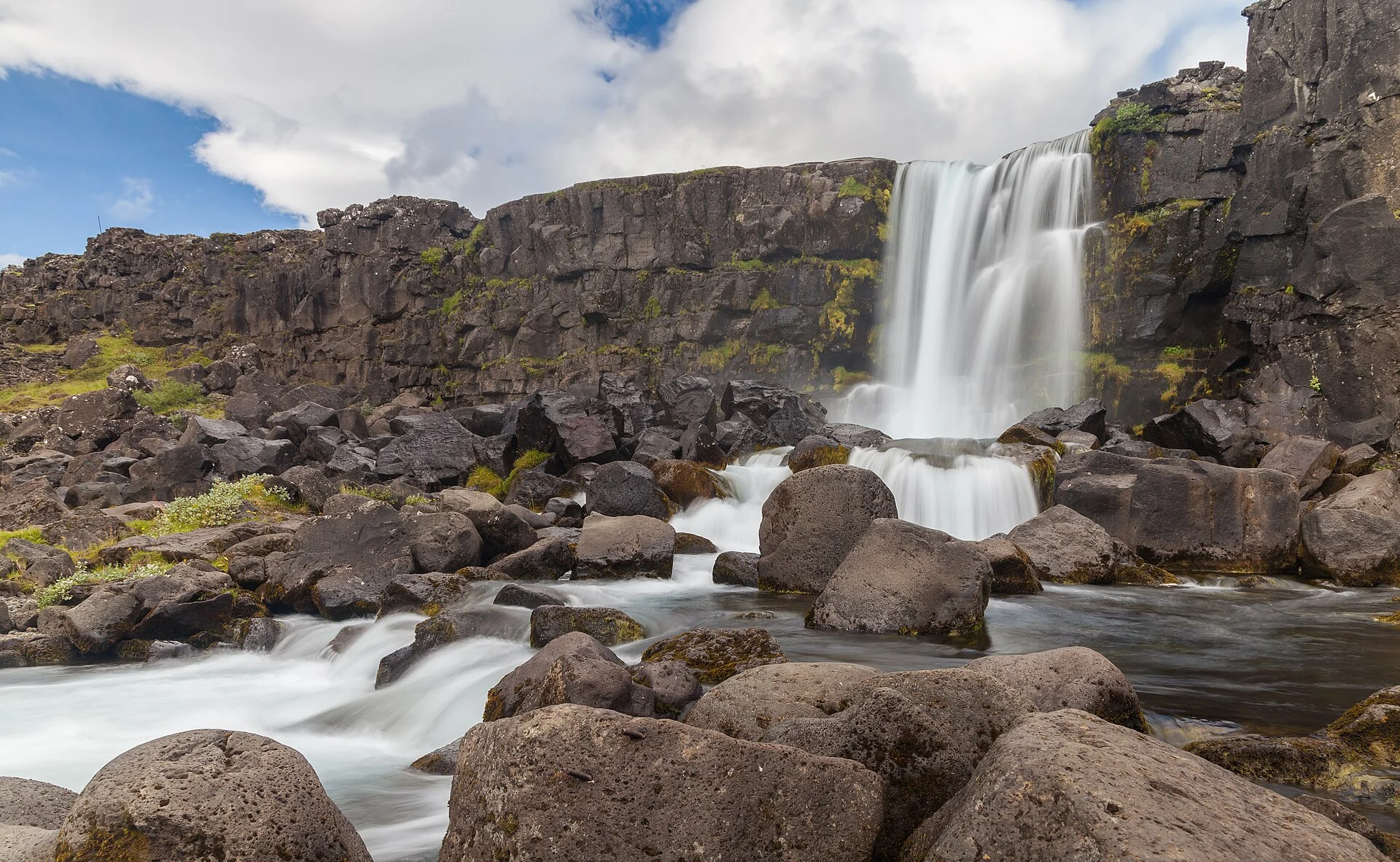
Oxararfoss: Walking Routes and Visit Guide
Plan Öxarárfoss using the official park map and parking approaches. Check path conditions, the return and how the falls fit your wider visit.

Oxararfoss, written Öxarárfoss in Icelandic, is a waterfall on the Öxará river within Þingvellir. Plan it as a marked-path visit in the park, rather than a roadside photo stop. Choose the approach from the official map and check the route back. A short waterfall aim can fit within a wider history or geology walk.
TL;DR: P2 is the park lot east and below Öxarárfoss. Hakið can serve a wider assembly-area walk. Use the official map for orientation, read current signs and leave time for the return. An older route photograph does not establish today's surface or access.
Last fact checked: 14 October 2026. The park's map and parking page are the sources for orientation. No walking time, step-free route or current closure status is assumed.
Where Oxararfoss is
The waterfall is part of the river landscape around the old assembly grounds. The park's place-name record identifies it, while its Öxará account explains the river's route. Those pages are in Icelandic. Use the proper spelling when matching a sign or map label.
Do not confuse the waterfall with Drekkingarhylur, the pool elsewhere along the same river. Each has its own name and history. Our drowning-pool guide explains that separate stop. Directions to the pool are not a substitute for the waterfall route.
The official visitor map places the main landmarks in one park plan. Keep it with the current local signs. The map is a way to orient the visit, rather than a live report of open paths.
Choose an Oxararfoss parking approach
The park's parking service page names P2 at Efri-Vellir as east and below Öxarárfoss. That makes P2 a useful starting point to check for a waterfall-focused visit. It does not establish the shortest possible walk for every guest or vehicle.
P1 at Hakið serves the upper end of Almannagjá and the visitor centre. It can fit a wider walk that begins with the valley view and assembly grounds. Choose it for that purpose, then use the map to plan the falls and return. Do not assume a loop is open just because both places appear on the same map.
Use permitted parking and the park's current payment instructions. A waterfall pin does not make the nearest roadside space a visitor lot. If your plan includes another part of the park, check the covered lots on the parking page rather than assume each move needs a separate fee.
Walking route and surfaces
Use the marked route and current signs. The park's visitor map gives the orientation; local notices give the limits on the day. If a notice closes a connection, choose another permitted plan. An old screenshot should not override it.
Ask about the full route if steps or uneven surfaces affect your party. A broad description of a short walk is not an access assessment. You need to know about the approach and the return, not only the viewing point.
The park published a closed-trails notice in February 2024. It described ice and damage elsewhere in the visitor area, and a slippery waterfall path. That dated notice shows how conditions can affect the walk. It is not a live closure list for October 2026.
Check before walking:
- Start: the permitted lot that serves your actual plan.
- Route: the current marked approach on the official map and signs.
- Return: the way back to the car or your booked transport.
- Conditions: any notice affecting the path or viewing area.
- Party: the walking needs of the people making the visit.
Time, viewpoints and restrictions
Plan the waterfall as a viewing stop with a return walk. No fixed duration is supplied here. Parking, reading signs and walking pace can change the time needed. Leave room for the purpose of the visit rather than aim for the fastest number from another traveller.
Take photographs from the marked viewing area and keep the route clear. A photograph from beside the water does not authorise entry into it. Do not climb beyond a barrier to match an older image. The park's current rules apply even when the scene looks quiet.
If you are on a guided day, use the driver's return deadline. Ask whether the waterfall is part of the planned stop. A trip naming Þingvellir does not prove it covers every landmark within the park.
Add it to your park visit
For geology, pair the falls with the tectonic plates guide. For history, give the assembly grounds their own time. The river and cliffs form one setting, but the stories need separate explanations.
Use the park overview to choose that wider purpose. If staying overnight, compare nearby hotel bases against the next day's route. Keep food and facilities as separate checks; seeing a landmark does not prove a nearby service is open.
Connect this visit with the next decision
Verdict on Oxararfoss
Give Oxararfoss a clear task in the day. Start with P2 for a focused enquiry or Hakið for a wider park walk, then check the actual marked route and return. Use the official map with current signs. A modest visit that fits the party is more useful than a rushed attempt to cover every viewpoint.